What is TerraEye?
Powered by AI, our technology provides context-specific results, delivering exactly the information you need. Whether it's identifying the exploration targets, providing ESG reports, or providing persistent monitoring, gain a comprehensive understanding of your AOI.

A Powerful Investigation Tool
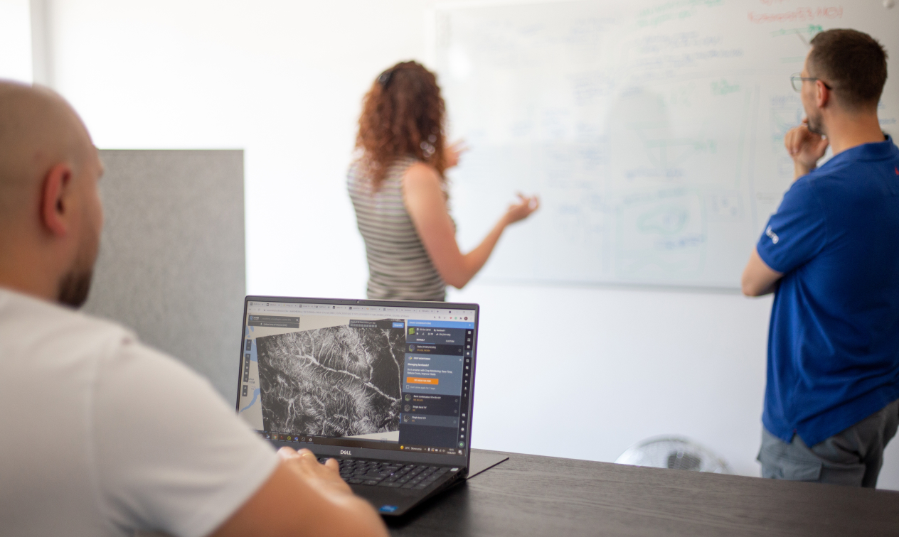
Harness the power of geospatial intelligence with our TerraEye app. View real-time data streams, analyze historical patterns, and predict future scenarios all within our intuitive, comprehensive application. Whether you're monitoring environmental impacts or planning future investments, TerraEye app empowers you with the critical data and insights you need.
What can you do with TerraEye?
- Minimize risk of mineral exploration
- Predict environmental hazards before they happen
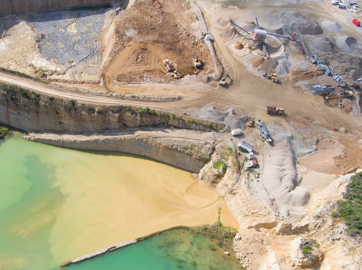
- Monitor your critical infrastructure
- Track Activity and Progress- Mining area segmentation
Unleash the potential of AI-enhanced geospatial intelligence with TerraEye.
Learn more about TerraEye:
TerraEye websiteWhy TerraEye?
We seamlessly integrate various data sources to create an immersive digital twin of your site, enabling you to visualize, analyze, and understand the intricate details of your operations and environment. We work directly with you to identify key areas relevant to your operation and tailor our solution to focus on an array of pertinent data sources.
The raw data collected from various sources is processed in our Data Factory through our proprietary Machine Learning algorithms. Our Innovation Lab continually refines these algorithms, ensuring the highest level of accuracy and relevance. Our team of data scientists and engineers collaborate to extract meaningful insights, turning complex patterns into actionable intelligence.
Powered by sophisticated Large Language Models, our technology provides context-specific results, delivering exactly the information you need via API integration or by generating ready-to-present reports. Whether it's identifying the risk of ground movement, assessing the health of vegetation, or providing persistent monitoring, you'll gain a comprehensive understanding of your on-the-ground situation.
Project Roadmap
EU projects included
Project Partner
Aspire with ESA, an initiative of ESA Space Solutions, the innovation-to-market programme of the European Space Agency (ESA).
Partners & Investors
Be part of our
grand vision.
If you like what we have planned invest in the future of more sustainable mining or become our partner.
Contact Us